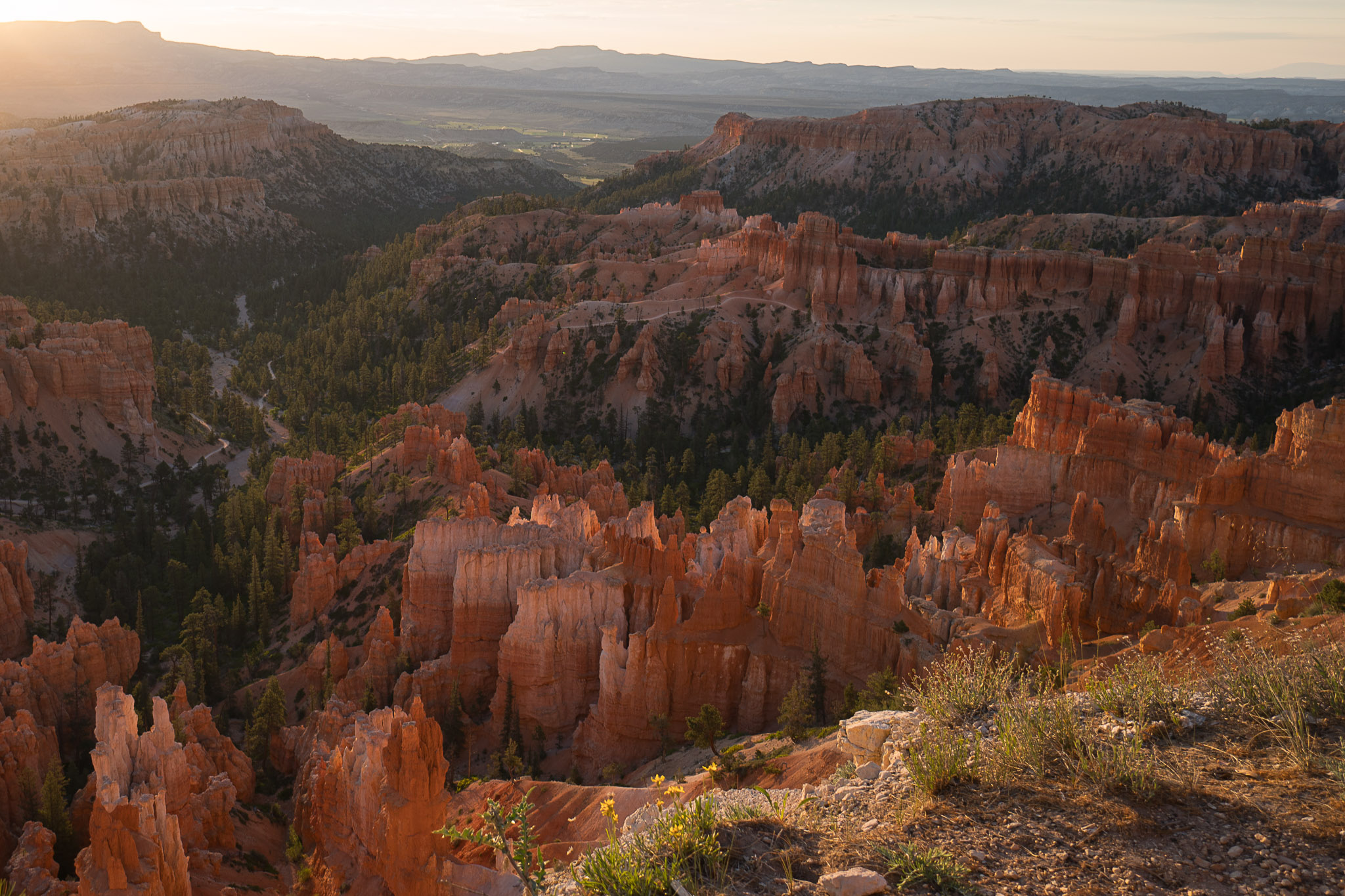
Bryce Canyon has some of the most unique scenery and hiking in Utah. Trails descend from the rim into the hoodoos, fins, rock passages, and narrow canyons that define the park, and most of the park’s hiking takes place below the rim in the amphitheater itself. The downside is this means that nearly every hike ends with a climb back out of the amphitheater, and at an elevation of over 8,000′ this is going to mean the end of the trail is always going to feel a bit strenuous – so always keep in mind that what goes down must eventually come back up!
Bryce Canyon’s trail system is also unique in that many trails are interwoven, allowing you to mix and match and combine different trails. It is very common to combine trails like Queen’s Garden, Navajo Loop, and Peekaboo Loop to create a longer day hike, and the ability to do this makes it possible for both casual and serious hikers to experience the best Bryce Canyon has to offer. However, this can make navigating a bit confusing at times, so be sure to grab a paper map from the entrance station or visitor center when you arrive and highlight your planned route before you get started.
Best Trails for Families: Queen’s Garden, Rim Trail, Mossy Cave
Rim Trail: Sunrise To Inspiration Point
1.2 mi • 185 ft elevation • One Way

The best stretch of Bryce Canyon’s Rim Trail connects Inspiration, Sunset, and Sunrise Points along the edge of the main amphitheater. Walking between the overlooks gives you nearly continuous views into Bryce, with the hoodoos and formations shifting as you move along the rim rather than seeing them from a series of isolated viewpoints. During shuttle season, take the shuttle to Inspiration Point and hike the 1.2 miles mostly downhill to Sunrise Point, where you can catch the shuttle back. The full Rim Trail stretches 5.5 miles, but this section delivers the best of it without committing to a longer hike or dropping below the rim.
Queen’s Garden + Navajo Loop Combination
2.9 mi • 625 ft elevation • Loop
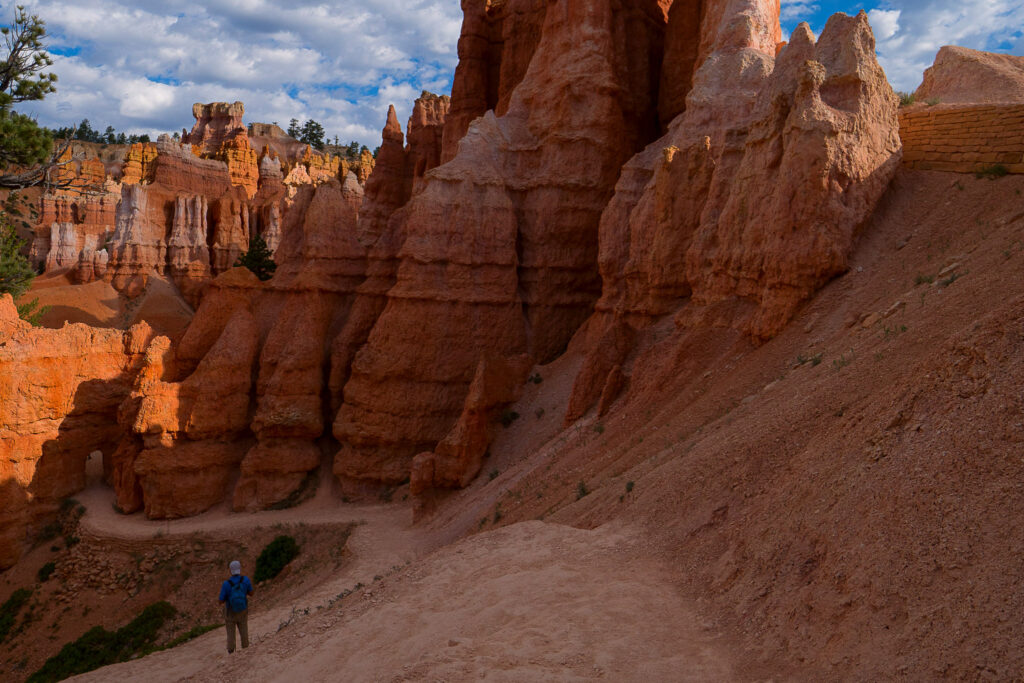
Queen’s Garden and Navajo Loop combine into one of the best short hikes at Bryce Canyon, with more variety than either trail provides on its own. When Wall Street is open, we’d start at Sunset Point and descend Navajo through Wall Street before connecting with Queen’s Garden for the more gradual climb to Sunrise Point. This puts Wall Street’s steep switchbacks downhill, while the Rim Trail back to Sunset Point finishes the loop with broad views across the amphitheater. When Wall Street is closed, use the Two Bridges side of Navajo instead.
Mossy Cave
.8 mi • 150 ft elevation • Out & Back
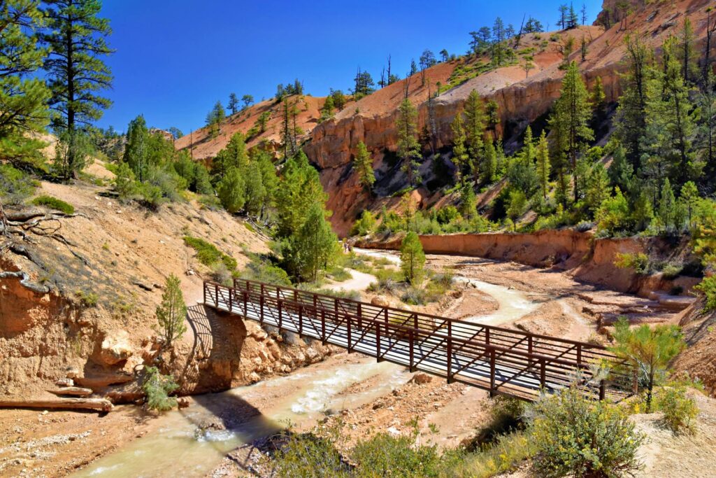
Mossy Cave is an easy family hike with something you won’t find on Bryce Canyon’s main amphitheater trails: running water. Located outside the main park entrance along Highway 12, the short trail follows a stream through Water Canyon to a small waterfall, with hoodoos and natural windows rising above the canyon along the way. A short spur leads to the moss-covered grotto that gives the trail its name, though the water and canyon are arguably the more interesting part of the hike.
Navajo Loop
1.3 mi • 515 ft elevation • Loop
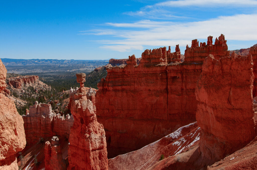
Wall Street is the reason to hike Navajo Loop. The trail drops from Sunset Point through a series of tight switchbacks into a narrow canyon surrounded by high orange walls, with mature Douglas firs somehow growing from the canyon floor. The other half of the loop climbs past Two Bridges and provides a close view of Thor’s Hammer, Bryce’s most famous hoodoo. When Wall Street is open, we strongly prefer hiking the loop in that direction: down Wall Street and back up Two Bridges. We’ve climbed Wall Street once. Once was enough.
Queen’s Garden
1.8 mi • 450 ft elevation • Out & Back
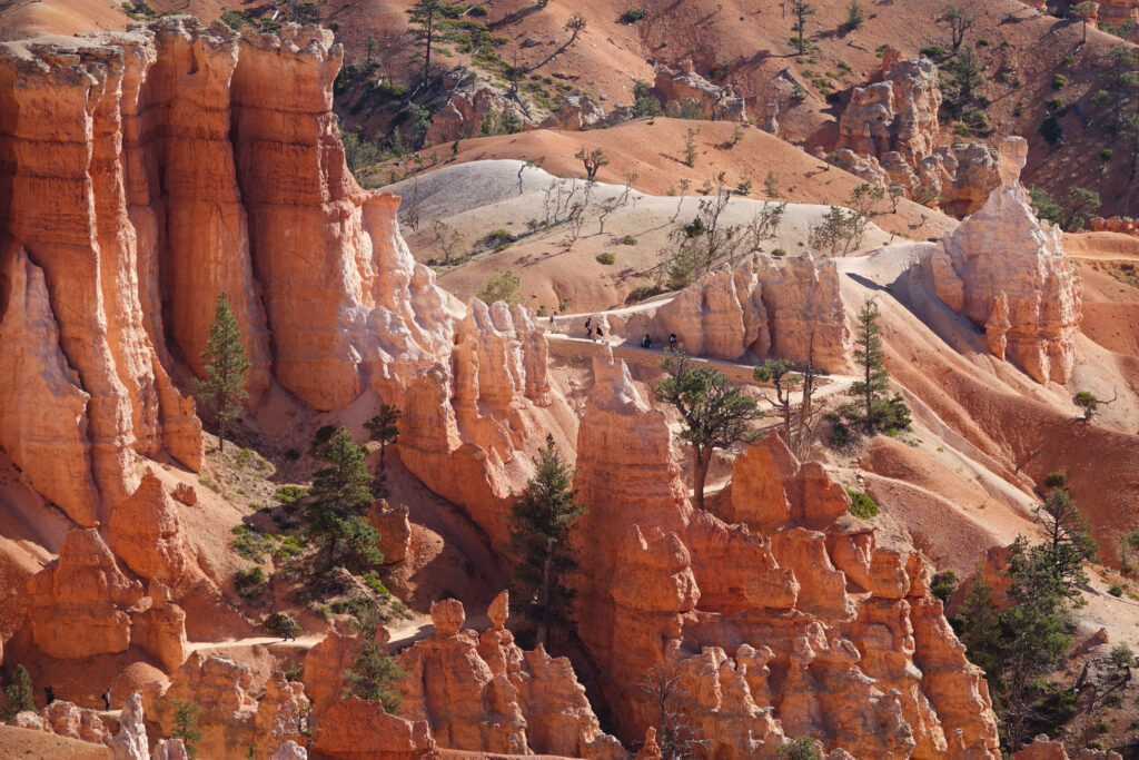
Queen’s Garden is the easiest way to leave the rim and walk among Bryce Canyon’s hoodoos. From Sunrise Point, the trail descends gradually from broad amphitheater views, winding between orange fins and through short rock tunnels before reaching the Queen Victoria hoodoo on a short spur near the bottom. The tunnels and narrow passages create some particularly good photography opportunities, and the relatively gentle descent makes Queen’s Garden a great introduction to exploring Bryce below the rim.
Figure 8 Loop
6.4 mi • 1575 ft elevation • Loop
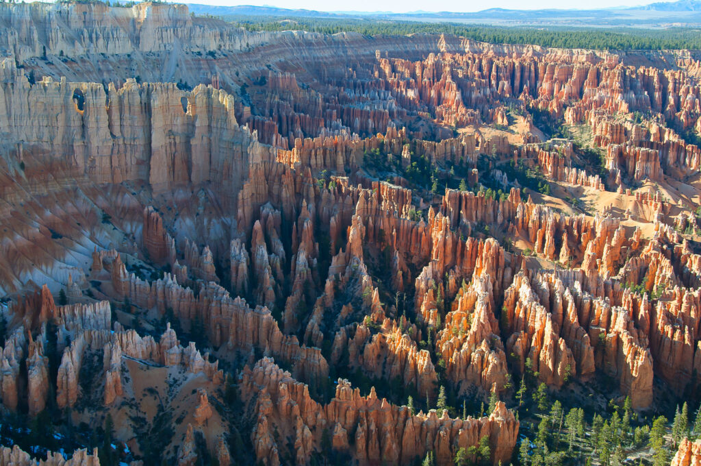
The Figure-8 combines the best of Bryce Canyon’s amphitheater trails into one 6.4-mile hike. Starting at Sunset Point, we prefer descending the tight switchbacks of Wall Street before joining Peekaboo Loop, which winds through the heart of the amphitheater past Wall of Windows. From there, Queen’s Garden provides the final climb through the formations and tunnels to Sunrise Point. This is the opposite direction from the standard NPS route, but it puts Wall Street’s steep switchbacks downhill and saves the more gradual Queen’s Garden Trail for the climb out.
Fairyland Loop
8 mi • 1716 ft elevation • Loop
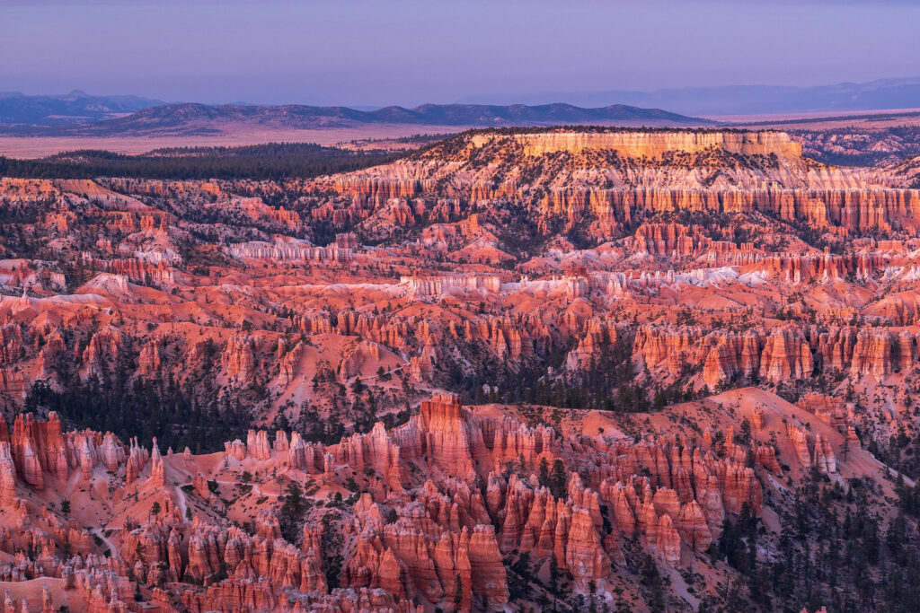
Fairyland Loop explores a quieter side of Bryce, with broader views and more open terrain than the densely packed hoodoos of the main amphitheater. The eight-mile trail circles Boat Mesa through Fairyland and Campbell Canyons, passing the Chinese Wall and a short spur to Tower Bridge before spending about 2.5 miles along the rim. With 1,716 feet of climbing and plenty of smaller ups and downs along the way, the difficulty comes from the accumulated distance and elevation rather than one sustained climb. Hike it counterclockwise to descend rather than climb the steeper Tower Bridge section.
Peekaboo Loop
5.5 mi • 1560 ft elevation • Loop
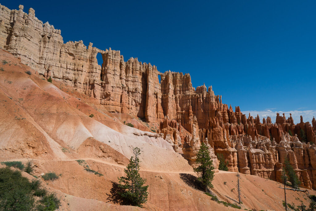
Peekaboo Loop spends most of its 5.5 miles deep inside Bryce Amphitheater, winding through one of the park’s densest concentrations of hoodoos. The trail repeatedly climbs and drops between the formations, passing through rock passages and beneath the Wall of Windows, a long fin pierced by a series of natural openings. With 1,560 feet of climbing, Peekaboo is considerably harder than Queen’s Garden or Navajo Loop, since reaching the amphitheater floor doesn’t mean you’re finished climbing. Hike the loop clockwise for the best approach to Wall of Windows and to travel with the horse traffic.
Bristlecone Loop
1 mi • 200 ft elevation • Loop
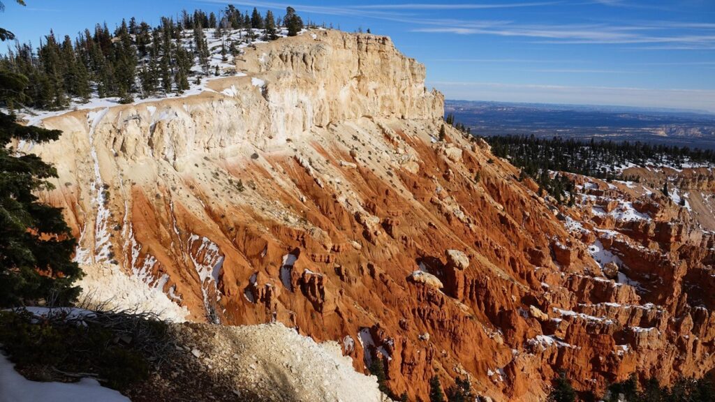
Bristlecone Loop is a short hike through the high-elevation forest at the very end of Bryce Canyon’s scenic drive. On a clear day, views stretch more than 100 miles across the Grand Staircase while the one-mile trail passes bristlecone pines over 1000 years old. The trees are fascinating once you realize just how old they are and what it takes to survive the harsh conditions, but if you have limited time at Bryce, we recommend prioritizing trails in and around the amphitheater instead.