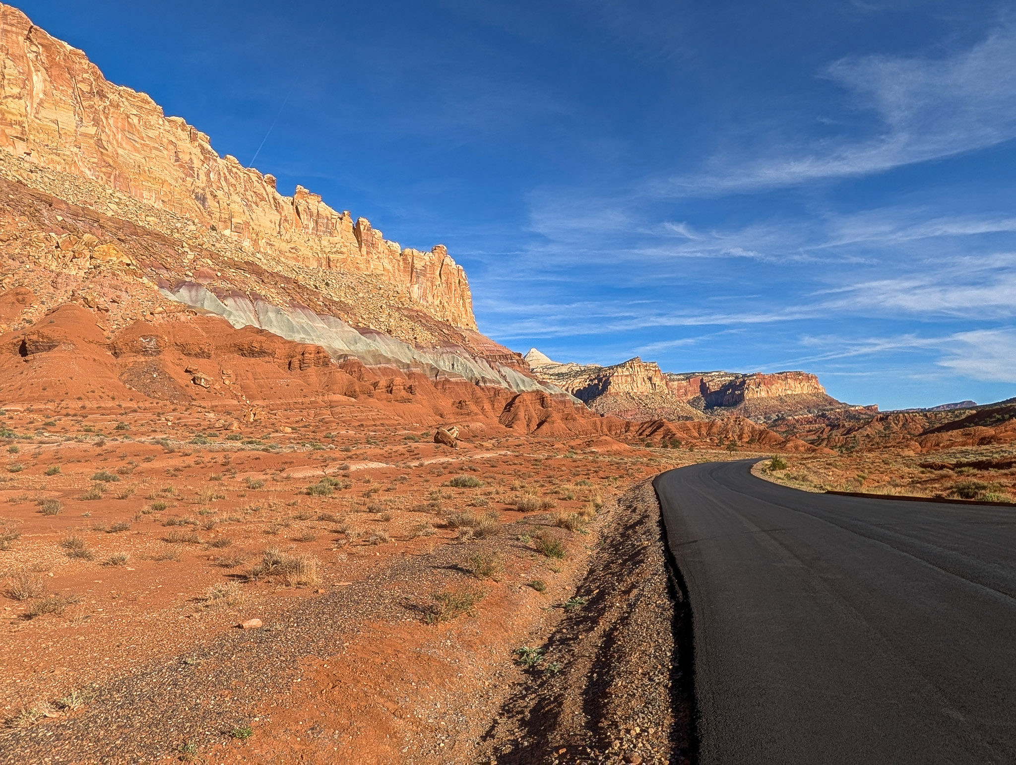
The Waterpocket Fold is Capitol Reef’s signature landmark, but at nearly 100 miles long, it’s not something you can experience from a single viewpoint. The best hikes take you through different pieces of this strange landscape, following dry washes between massive canyon walls, climbing above Fruita, and crossing slickrock for views across the Fold. We’ve chosen hikes that capture that variety, from short walks into narrow canyons to climbs high above the desert.
Cassidy Arch
3.4 mi • 670 ft • Out & Back

Cassidy Arch combines a steady climb and long stretches of slickrock with one of Capitol Reef’s most memorable destinations. The trail climbs quickly from Grand Wash and then evens out, revealing increasingly wide views of the canyon and surrounding cliffs before Cassidy Arch finally appears in the distance. Unlike most natural arches, the destination isn’t standing beneath it, it’s standing on top of it. Many visitors walk onto the arch for the view and a photo, but there’s a significant drop on either side. Decide what you’re comfortable with, and keep children well back from the edge.
Hickman Bridge
1.8 mi • 400 ft • Out & Back

Hickman Bridge packs a surprising amount of variety into a relatively short hike, climbing from the Fremont River through volcanic boulders and sculpted sandstone before reaching one of Capitol Reef’s most impressive natural bridges. Sandstone pockets, ledges, and small nooks along the trail give kids plenty to explore along the way. At the bridge, don’t turn around: walk beneath it, continue to the other side, then look back for the best view, with Hickman Bridge framing the white domes and cliffs beyond.
Grand Wash to The Narrows
~2 mi • 100 ft • Out & Back

Grand Wash is a hike about feeling small. The massive sandstone walls of the Waterpocket Fold rise above as you follow a mostly flat gravel wash. From either trailhead, hike roughly a mile to the Narrows, where the canyon walls close in and provide stretches of welcome shade. The full trail runs 2.2 miles between trailheads, but for an easy out-and-back, walk to and through the Narrows before turning around and retracing your route. Though wide, this is still considered a slot canyon, so skip this one during rain.
Chimney Rock
3.6 mi • 590 ft • Loop
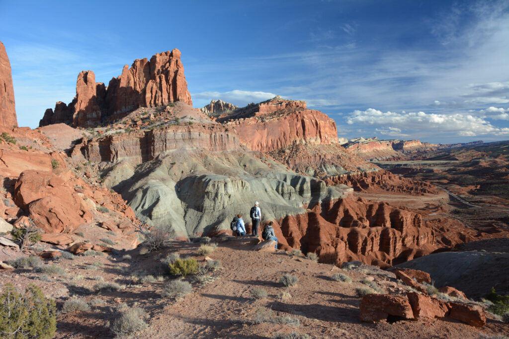
Chimney Rock Loop packs some of Capitol Reef’s best views of the Waterpocket Fold into a relatively short hike. The trail climbs quickly from Highway 24 before following the higher slopes above Chimney Rock Canyon, where much of the Fold spreads out below you. The initial climb accounts for most of the effort, while the remainder of the loop follows the mesa through open terrain overlooking the surrounding cliffs and desert. Chimney Rock itself is only part of the attraction; the panoramas are what make this hike worth the climb.
Navajo Knobs to Rim Overlook
4.6 mi • 1110 ft • Out & Back
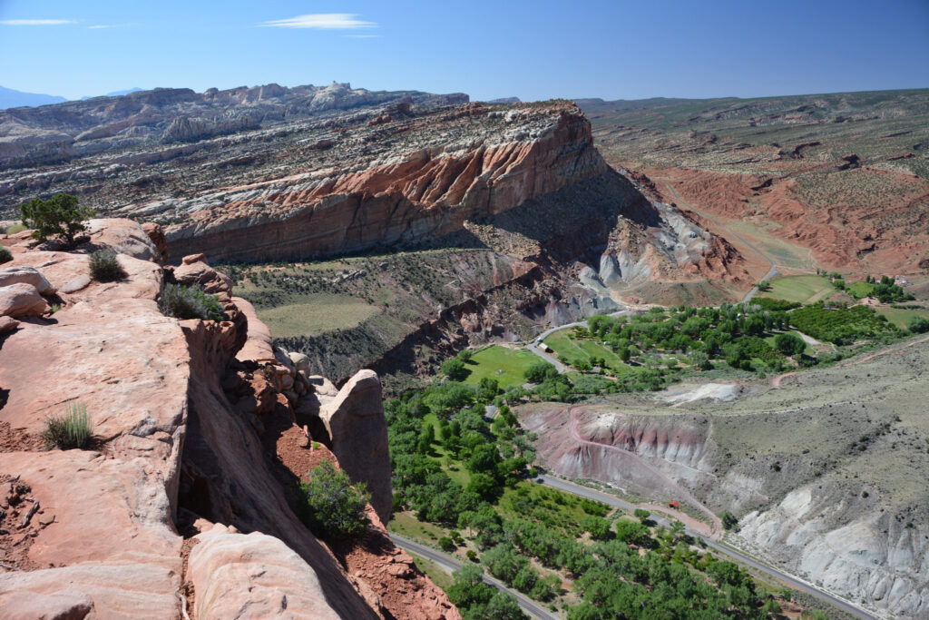
The Navajo Knobs trail climbs quickly above Fruita, trading the canyon floor for wide-open views across the orchards, surrounding cliffs, and Waterpocket Fold. Reaching Rim Overlook requires more than 1,000 feet of climbing but the payoff in the views is worth it, providing a natural turnaround point for most hikers. For those seeking a longer hike, the trail continues another 2.4 miles to Navajo Knobs, where a final climb delivers 360-degree views across Capitol Reef and toward the Henry Mountains.
Capitol Gorge to the Pioneer Register
1 mi • 80 ft • Out & Back

The Capitol Gorge Trail follows a wide, dusty wash between massive sandstone walls, passing a small panel of Fremont petroglyphs before reaching the Pioneer Register. We had only planned to do the scenic drive, but the trail was so easy that we kept exploring. The register turned out to be one of the major highlights of the trail; you can feel the history of the travelers through names and dates carved into the sandstone as far back as the 1800s. For a longer hike, you can continue on the full 5-mile out and back to visit the natural water pockets called the Tanks to see what gives the Waterpocket Fold its name.
Cohab Canyon
1.7 mi • 440 ft • One Way
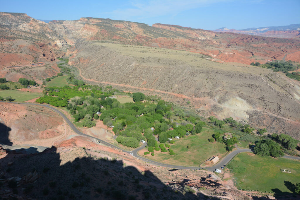
Starting near the Gifford Homestead in Fruita, Cohab Canyon wastes little time climbing a series of steep switchbacks above the valley. Once you reach the canyon, the trail levels out considerably and follows a sandy wash between colorful sandstone walls and narrow side canyons. Don’t skip the short spur trails to the overlooks, which provide panoramic views across the orchards and historic Fruita district. At 1.7 miles one way, Cohab Canyon can be hiked point-to-point or turned into an out-and-back—and there’s pie waiting near the Fruita trailhead.
Sunset Point & Gooseneck Overlook
1 mi • 50 ft • Out & Back

Sunset Point is a short, easy walk to one of the best places in Capitol Reef to watch the evening light. The view faces east, so the sun actually sets behind you and you watch the cliffs and distant mountains as they catch the last warm light of the day. The tiny gravel parking lot fills quickly around sunset, so arrive early or visit during the quieter golden hours. Goosenecks Overlook starts from the same parking area and is easy to add, although we found the short route surprisingly difficult to follow in fading light and the view less compelling than Sunset Point.